Retrieving Some Writing From My Old Website.
My old webside went down for the count a few months back, and I was not able to get it going again, even to retrieve some of my writings from the blog. Luckily, I still have an even older blog that I let go fallow in 2021, which has some of the writings I was looking for. Remember that these are not current. I wanted to find my writings around the Eagle Creek Fire, and subsequent wldfires in the eastern Columbia Gorge while I lived in Hood River. Here is some of that. Like a blog, it is in reverse order chronologically.
Shooting Fish in a Barrel
Originally published October 2018.
As the morning sun broke through the clouds, and the wind stopped stripping the bark from trees (it was making such a racket that I thought I heard thunder), I ventured out into the wiles of the eastern Columbia Gorge hinterlands to get some pictures, and find a specialized CFL bulb. Gaia and I set off toward The Dalles, and into the rain shadow. Hood River seems to be the end of the eastward road for all but the most determined clouds, so we drove along I-84 with a rainbow to our rear, and a cloudless sky in the windshield. The morning had possibilities.
We first stopped at Rowena, which is a small berg adjacent to Mayer State Park along the Columbia River, and headed up the Old Gorge Highway toward Rowena Crest. I have enough pictures from that spot, so I was interested in finding a new angle. There is a turn-off near the famed Rowena Loops (named for that loopy, dizzy feeling you get when spinning in a circle for a long time… No not really, but it has a grain of truth). The picture below is of one of the series of loops at that location.
Note 2026: Part of Rowena burned in 2025, along with some of the hillside to the left o this picture.
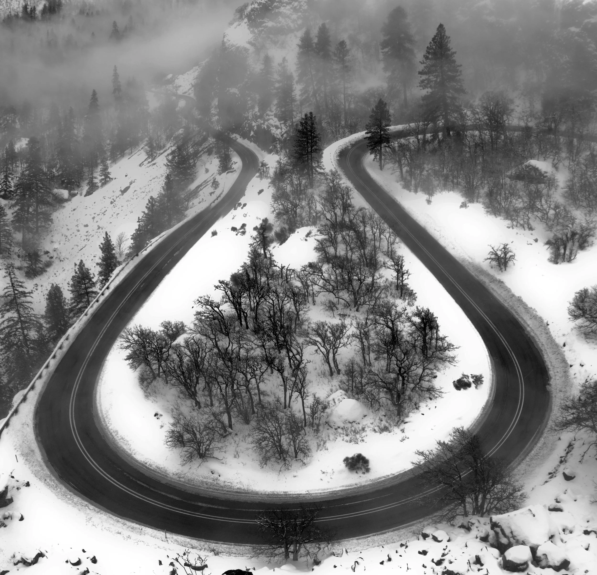
Rowena Loops, February 2017
I turned off the road, and set up my tripod to look across the Columbia toward the town of Lyle, Washington. And, the view that morning would have knocked the socks off of most people in this world, but I found it a bit less than stellar. That’s what happens whel you live in the Columbia Gorge. The extrordinary becomes ordinary.
So now, with the prospect of moving back to a more formal version of civilization in a short while, I am faced with the fact that my opportunities for photography of the type I have been producing as of late will diminish. Currently, I keep a camera in my car at all times. During that part of the year in which my daily commute is lit by the sun, I take pictures to and from work. I head out every weekend to spots around the area for photographs, and have the luxury to feel my way through an image over time, and learn how to capture the essence of what I want. There are so many photographical opportunities in this area that I compared it this morning to shooting fish in a barrel. To quote a friend from back east (who served in, and adopted the language of the military) when I showed him the gorge, “It’s a target-rich environment.” He was speaking about the photography, of course.
My great regret is that I haven’t spent much time in Eastern Oregon while I have lived here. It’s a area that I have truly wanted to explore. It will be farther away after the move.
The potential landscape styles available from a home base in the Portland area will be enhanced due to its centralized location. I can go to Silver Falls, which is toward Salem and the Willamette Valley, or to the Oregon Coast with greater ease. A trip to Seattle will be an hour shorter. The Portland waterfront will be much closer.
To begin to understand where to go in Oregon for photography, one has to remember that Oregon has four distinct climate regions:
The Coast, and northwestern Oregon (including the Wilamette Valley) has an oceananic climate, and is dominated by dense clouds, evergreen trees, slugs the size of Volkswagons, mushrooms that double as houses, and Seasonal Affective Disorder.
Southwestern Oregon has a Medeteranian climate, which is condusive to sunshine, hippies, and Shakespearian plays as long as it’s not on fire.
Northeastern Oregon has what is known as a Steppe Climate. The Cascade Mountain range forms the dividing line between the soggy west, and sun-baked east. It is semi-arid, with low volumes of rainfall, and high volumes of cow manure. Eastern Oregon Wheat is prized worldwide, and is shipped just about everywhere.
Finally, Southeastern Oregon has an arid climate. Parts of it are sometimes referred to as the Oregon High Desert, but we have yet to figure out what it’s high on. It attracts thousands of birdwatchers each year to the Malheur National Wildlife Refuge. They just have to watch out for the occasional Pistolbeaked Bundy (Didus Solitarius Armato). An invasive species, they tend to occupy an area, and push all of the resident populations out. Thankfully, their call of snacks! snacks! snacks! is heard less about those parts due to Federal intervention.
Note 2026: The occupation of the Malheur Wildlife Refuge is a dim memory these days. The Southeastern Oregon description references it is a deservedly comical way.
So, there are pictures to be had of a wider variety, but it is the daily photographic opportunities that I will miss after moving back to the Portland area. I will have to return to being much more methodical, and at the mercy of the weather on my days off.
And… I will have a darkroom (I hope).
Note from 2026: I built a new darkroom!
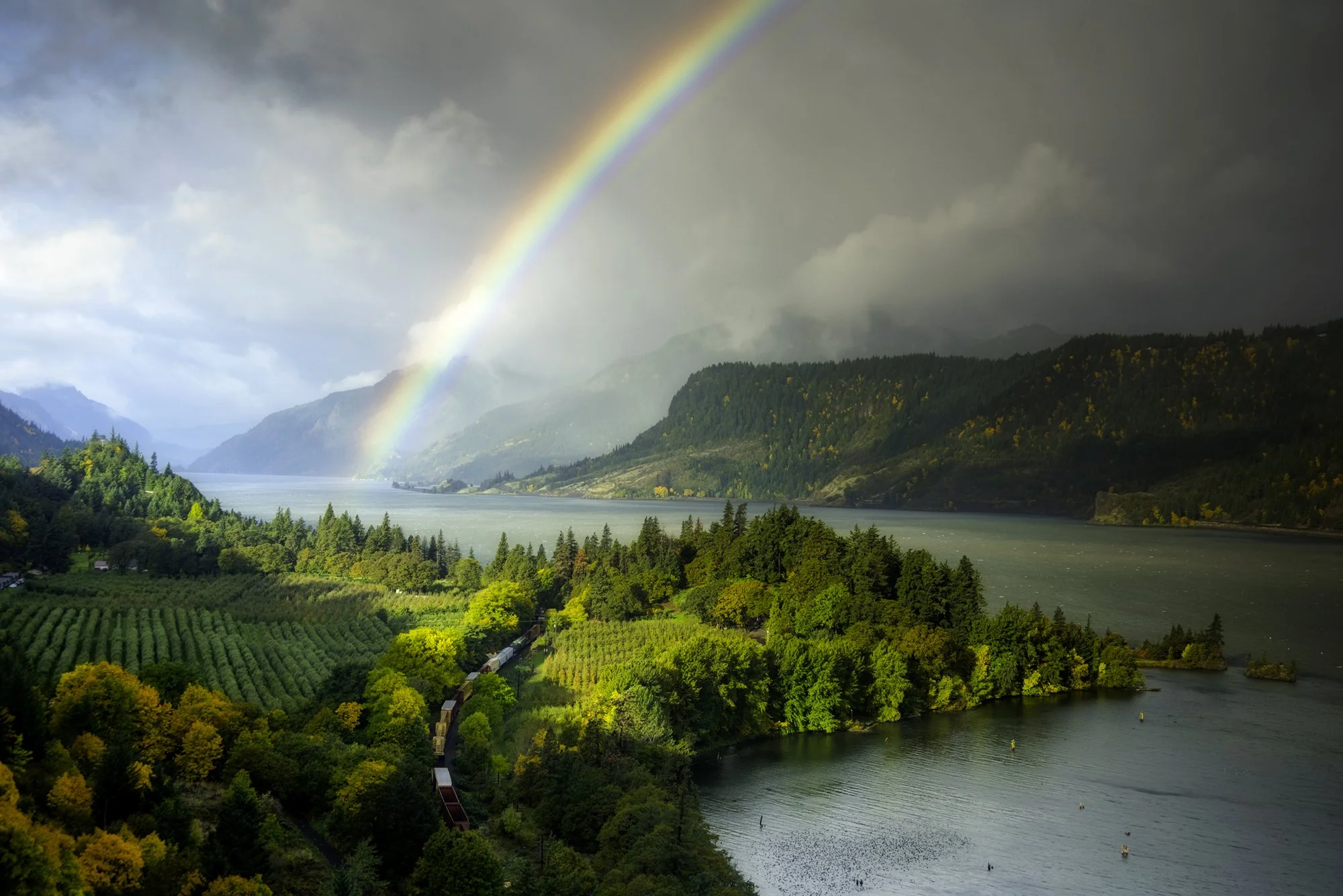
Ruthton Point with Rainbow, October 2017
I didn’t find the CFL bulb.
The Columbia Gorge Trails are Opening
Originally published on December 6, 2018
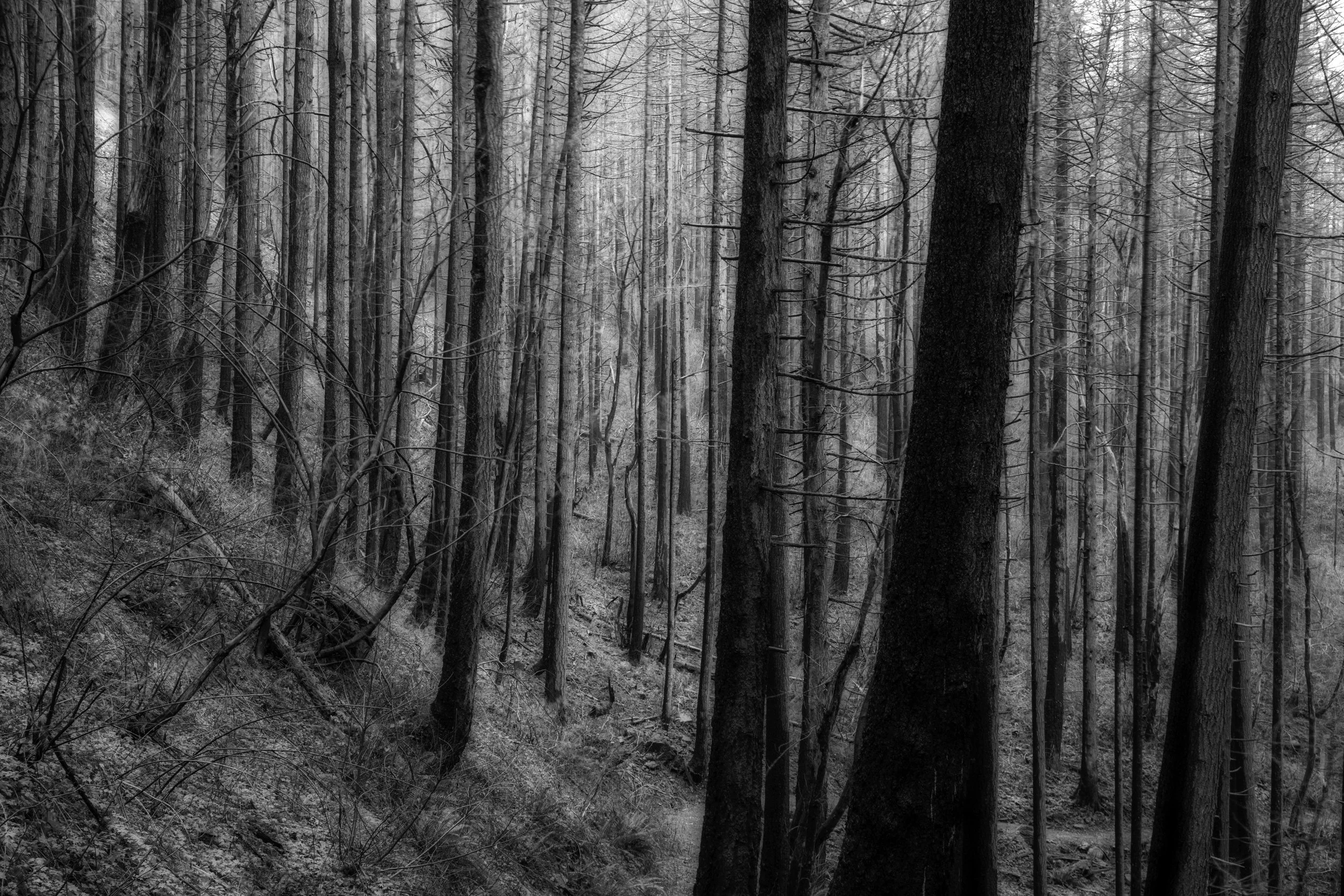
Burn Scars on the Upper McCord Creek Trail
At the end of November, the Historic Columbia River Highway in Oregon has finally opened between Bridal Veil and Ainsworth State Park. It was the last segment to open after its closure during the Eagle Creek Fire. The HCRH was referred to as “The King of Roads” after its completion 100 years ago. The grand vistas, breathtaking waterfalls, and lush greenery surrounding the road are legendary, as is the road itself. Many of the trails have opened as well. To honor the openings, I present a few photographs I have taken over the years of the road and its wonders.
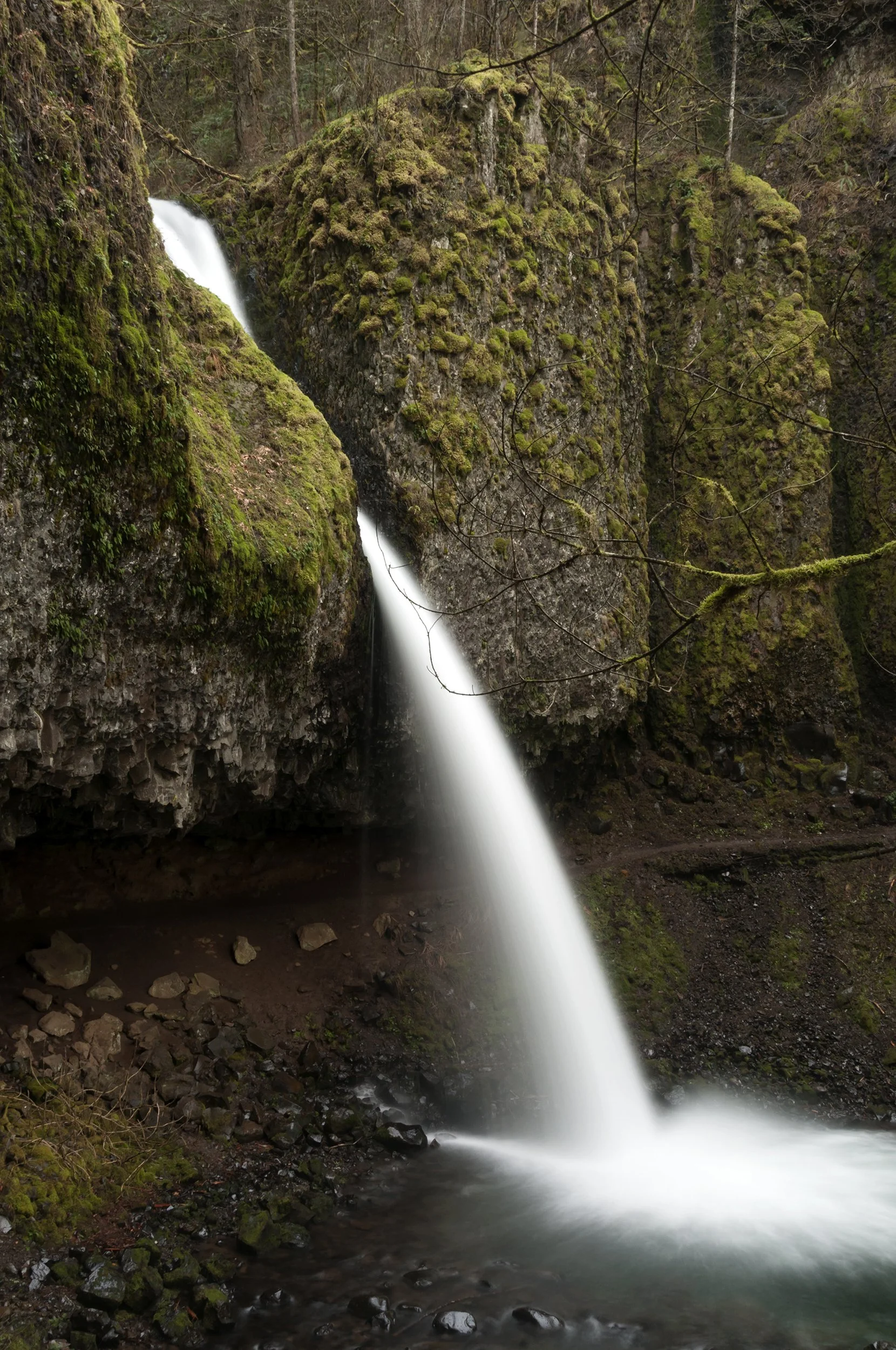
Horsetail Falls, September 2016.
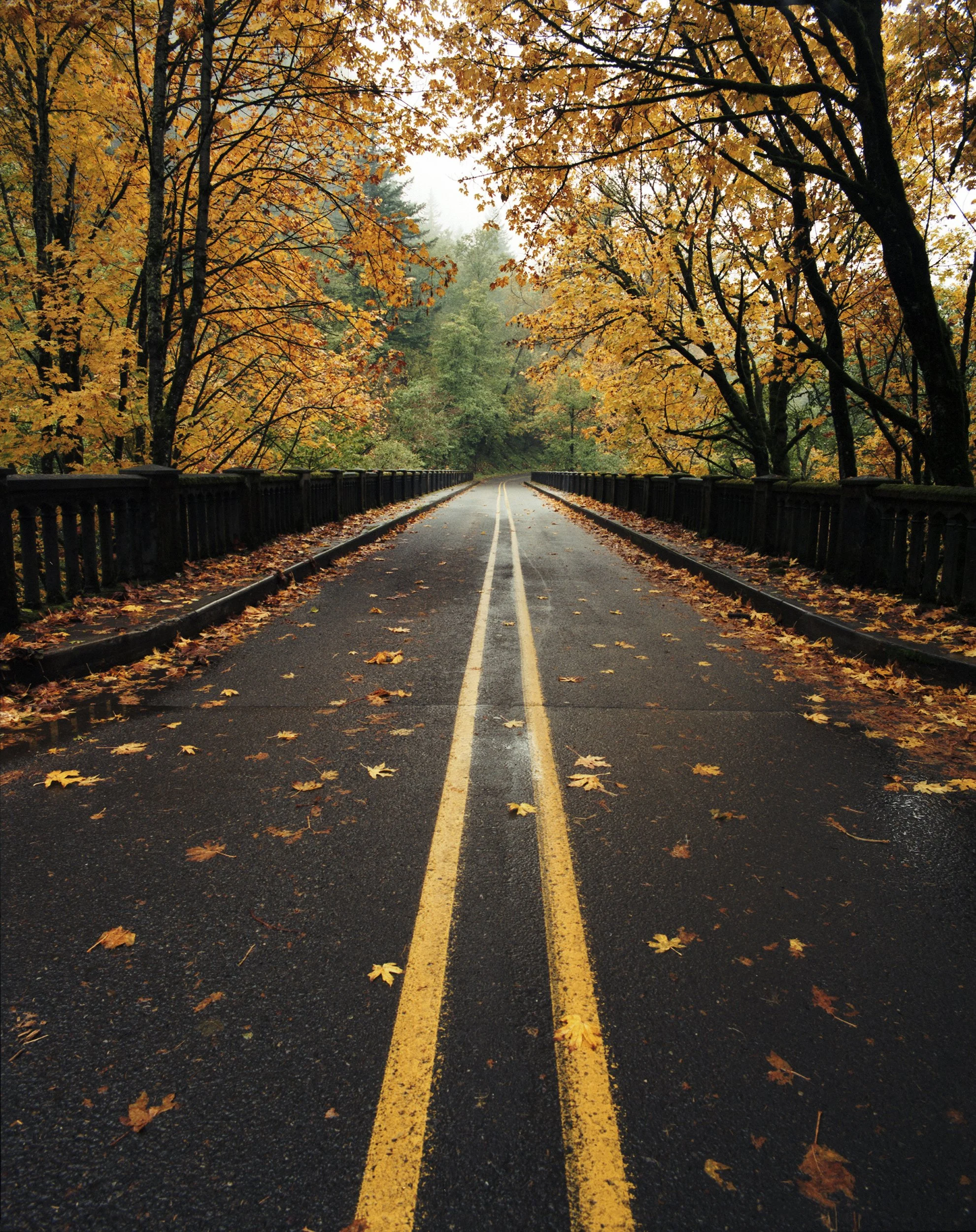
Latourell Falls Bridge
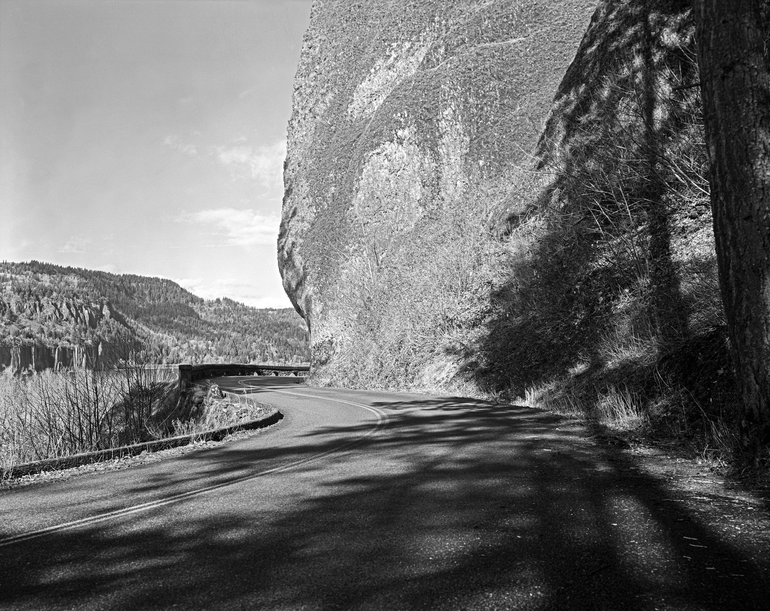
Half Tunnel

Crown Point
Summer Wildfires in Oregon and Washington
Originally published on August 1, 2018
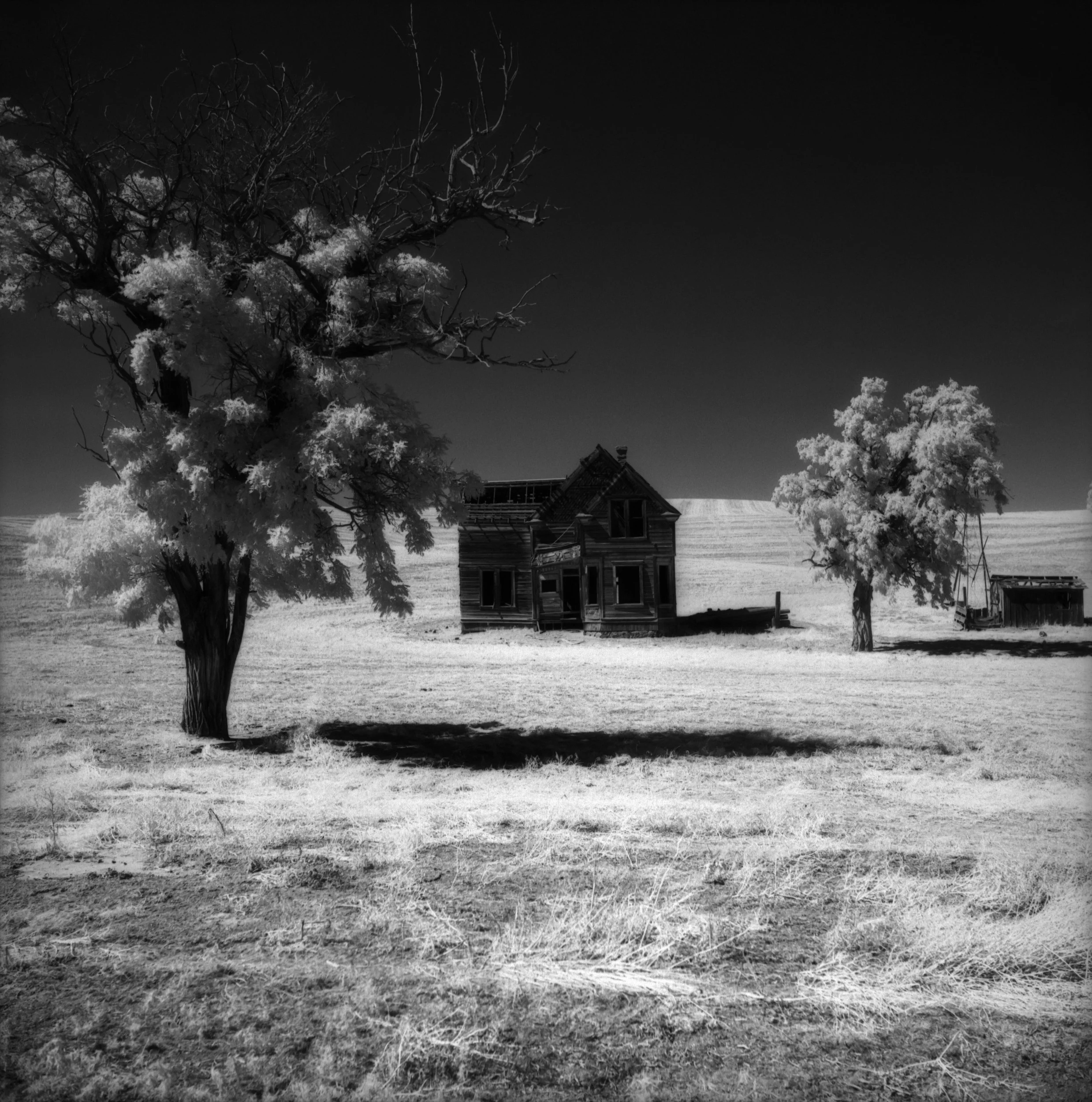
The Charles Nelson House (consumed by the Substation Fire, 2018)
This summer’s wildfires started a month early, and it showed no signs of letting up. This house pictured above burned in July in the Substation Fire. More fires started in the area of Dufur, Oregon, which is located south of The Dalles in Wasco County. I was worried that some of my other new favorite photo locations had burned as well. I have good news and some bad news on that front.
First, the good news: Dufur is intact, and many scenc views survived.
The bad news: Agriculture in the area was severely impacted. Some 83,000 acres of oregon wheat and other crops were lost, leaving farmers with debt from the growing season, and fewer crops to sell. Worse yet, China’s retaliation to tariffs from the Trump Administration have lowered prices for their remaining stock. And, to top it off, this is not the end of it.
Global Climate Change is set to make summers even drier than before. The Columbia Gorge was so dry that all it took to start fires was improperly stored tire chains on trucks and busses, and, of course, smokers who think the world is their ashtray.
Two fires at Memaloose State park in the Columbia Gorge were likely started by careless smokers.
I have very few pictures of the fires, both from this year, and from the massive fire in the Eagle Creek Fire in the Columbia Gorge last year. I like to stay out the way of firefighters.
2017 and 2018 have left me with a strong sense of loss for the area, and trepidation for the future. We are beginning to reap the rewards we have sown for decades of wanton burning of fossil fuels. Stronger hurricanes, and deeper floods in the east, and parched summers in the arid west are what’s in store. There is no excuse for inaction. There should be no mercy for deniers.
–Gary L. Quay
The Historic Columbia River Highway
Originally published on June 16, 2018
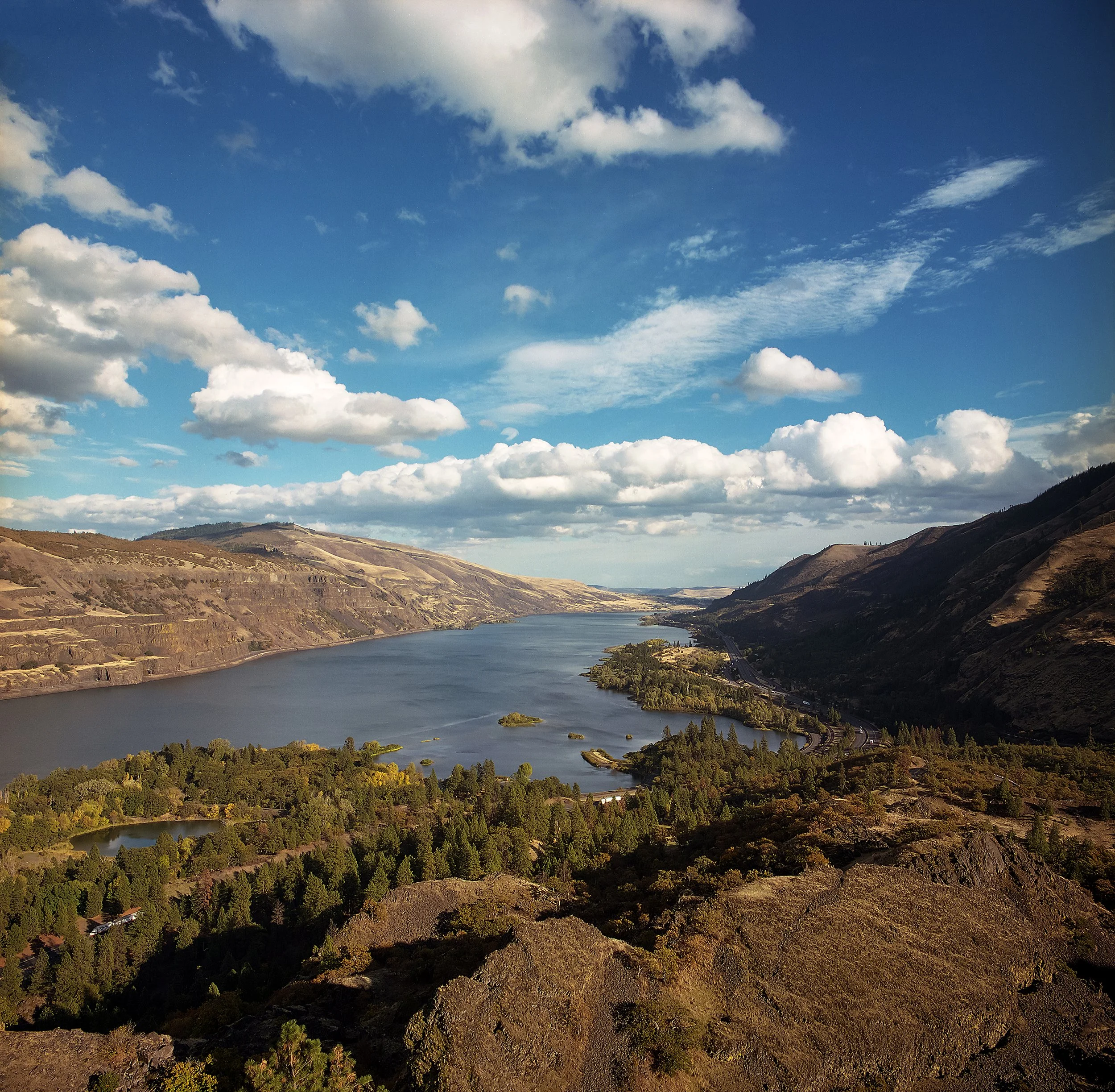
Rowena Crest, June 2016
I took the above picture shortly bfore I injured my left knee in the Oneonta Gorge.
Note: 2026: It still has not completely recovered.
The Old Gorge Highway is still closed between Bridal Veil and Ainsworth due the aftermath of the Eagle Creek fire. It’s been a heartbreaking 9 months since the fire started. Parenthetically, a small part of the fire re-ignted earlier this month. It’s not out yet. The deep places can smolder for a long time. Multnomah Falls is open, and they opened the Pacific Crest Trail near Cascade Locks last week.
The HCRH has been the lifeblood of my photography since the mid 1990’s. It’s been my little roller coaster in the Gorge, depending on how bad my brakes were. Many times, I started at the Corbett exit, and stopped at the Portland, Women’s Forum viewpoint. From there, I hit Latourell, Sheppard’s Dell, Bridal Veil, Wahkeena, Multnomah, and Horsetail before turning back toward Portland. I didn’t understand at the time that the HCRH doesn’t end at Ainsworth.
Sections of the highway still exist, and are open to car traffic all the way to Biggs Junction. I’m not talking about the ones opened up recently for bike traffic. A section continues from Ainsworth to the John B. Yeon Trailhead. From there, it mostly doesn’t exist apart from short stretches going through Cascade Locks and Hood River. Starting at Mosier, however, it opens back up in earnest., and continues through The Dalles, and on to Biggs Junction. From Biggs, you can drive East for a short way before a line of gravel blocks the roadway. At one time, you could drive to Pendleton on that road.
It was only when I “discovered” Mosier about 10 years ago that I started to drive up to Rowena Crest. A few years after that, I learned that it was actually a segment of the HCRH. There are no tall waterfalls on this stretch. There are, however, views as stunning as there are farther west. Rowena Crest is one of those. Dry Creek Canyon is another. A little farther west is the Memaloose Overlook, and a short walk from there you can see the Columbia River’s Mosier Gap with its synclines, anticlines, and the Coyote Wall on the Washington side (you can see it from the overlook, but I like the view better from a few hundred feet west).
It’s the dry side of the Columbia Gorge beyond Hood River, so the vegetation changes. Oregon White Oaks are the dominant tree, and the hills become grassy, and less rugged. After June, the grasses turn golden, and the creeks run low, or even dry. Below is the view from Rowena Crest.
Hope Springs Eternal in the Columbia Gorge
Originally published on April 7, 2018
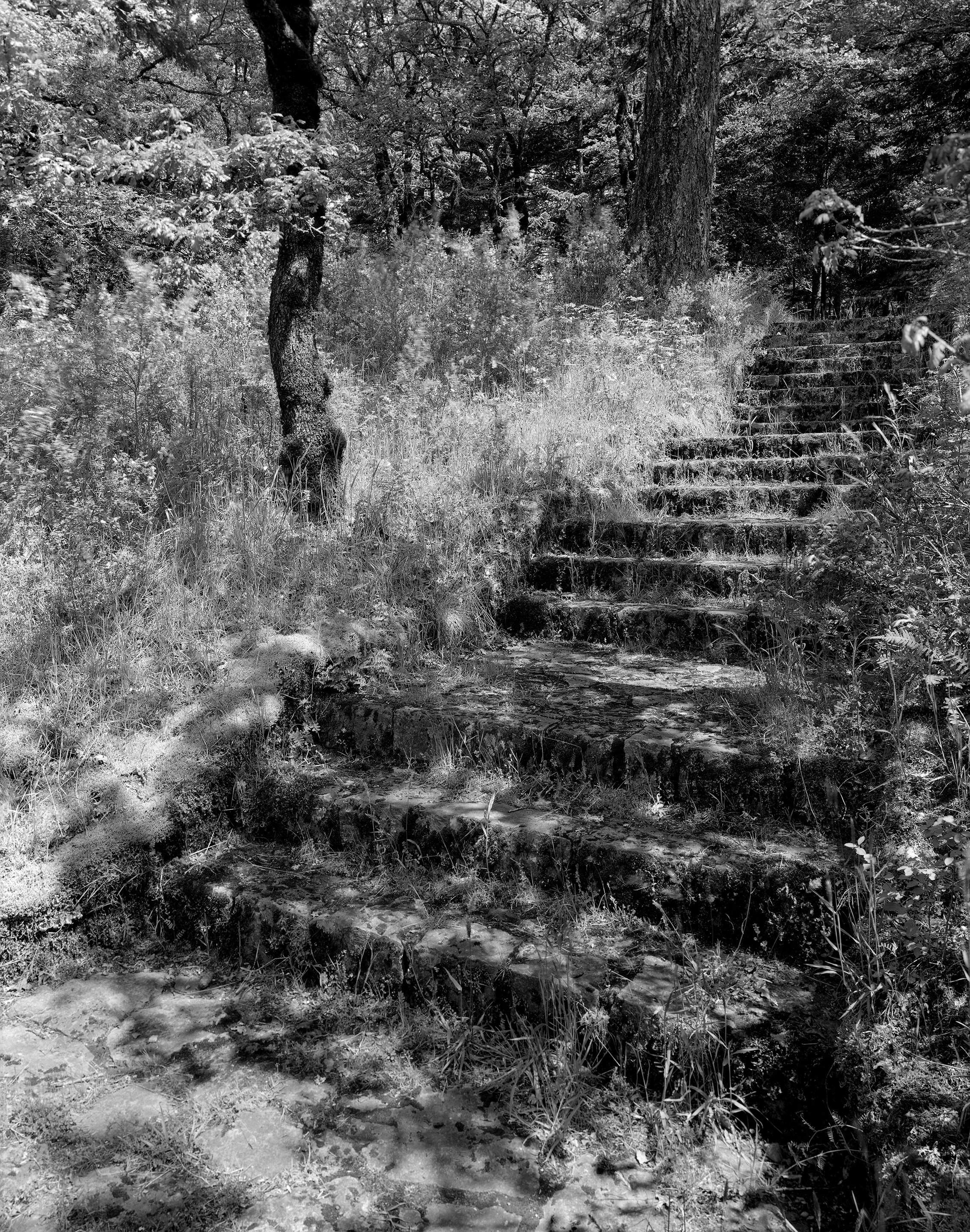
WPA Stairs, Bonneville, Oregon, 2012
Driving through the Columbia Gorge, as I do back and forth to work every weekday could have a tendency to make the spectacular into the mundane. I think about this sometimes when the light isn’t quite right, and I decline to get out a camera because because the stunning vista before me looks a little gray. I wonder at these times how someone from somewhere less dramatic would see it, and at that point I get out the camera.
My commute is fairly long: About an hour each way. I live in Hood River (a fact that I’ve mentioned a few times on this here blog). I best describe it as the place closest to the concept of paradise to be found in the northern hemisphere. I work in a place called Gresham, which is akin to where Dante’ ended up after leaving paradise (with apologies to Gresham residents). Fortunately, It’s only the First Circle. Work is about 52 miles from Hood River as the crow flies, unless it finds some delectable squirrel jerky on the way.
Always on my mind in the last 27 years since moving to Oregon was the Columbia Gorge: Timeless beauty with lush greenery, waterfalls, and monumental cliffs. I wonder what it would be like to soar like an eagle off of a high ledge, and be held aloft be the wind, and to see that landscape under me (and to not be looking solely for rodents, and other fauna that goes “squeak!”). I’m certain I would want to have a camera. This “always”, and “timeless” was put though a test late last year.
It was called the Eagle Creek Fire.
The Summer Solstice was long gone, as were the short nights. Darkness was creeping back into my commute. Labor day came, and the trails were filled to the gills with hikers. One of them was packing fireworks.
Some climatological notes: Unless you live east of the Mississippi, you should understand that the Dog Days of Summer in the west leave parched bones in the desert. In the Pacific Northwest, fall, winter, and spring are wet (Portlanders joke about having webbed feet), but toward the end of June, the weather changes. The dry time begins. Lawns die, rivers run low, and trees with shallow root systems struggle to make it into fall. Everyone who lives in the Great American West should understand that during the dog-eared, tongue-hanging-out days of late summer, YOU DON’T TAKE FIREWORKS TO THE COLUMBIA GORGE!
Ahem. Now, where was I?
Oh, I remember. This is about hope springing eternal.
Spring is indeed here. During my weekday excursion up and down the Columbia river, I watch the trees. I am fascinated by the way they change throughout the year. In the spring, they bud, blossom, and burst out in brilliant greens, pinks, whites, and yellows. The wreckage that is the Cottonwood trees, which always seem to be a month or so away from death in the winter, gather their sap, and join the world of the living for another season. The spruces, and various pines stand resolute against the howling winds and driving rain, and well, they don’t change very much. This year, it’s a bit different. I have been watching the burned areas to see where the green is coming back. I keep an eye on the soils to see if plants are growing. I look at the pines to see if they are putting on new needles where the fire stripped them. I am reminded that life is tenacious. I’m seeing green where I did not expect it. The hills, especially around Cascade Locks, did not fare very well. But, could it be possible that green is sprouting up on the hills, below the burned trees? I will know it when the Forest Service allows me to hike the trails again.
The Columbia Gorge I knew until September 2017 will not return in my lifetime. But, I can watch it come back. Little by little, hope returns, life goes on, and the challenge is to reflect that in the way we live our lives. Be the life you want to bring. Be the change that you want to see. As Ram Das said, “Be Here Now.”
About the photograph: I captured it with a Sinar Alpina 4×5 camera on Ilford Ortho Plus film, which I developed in PMK Pyro. I stumbled upon this combination by accident, but it’s a match made in heaven. The stairs are located just east of the Bonneville Dam, and were built by the Franklin Roosevelt’s WPA.
Eagle Creek Fire, September 2017
Originally published on September 11, 2017 during the Eagle Creek Fire.
Note 2026: I did not take many pictures of the Eagle Creek Fire. I was mostly interested in letting the firefighters do their jobs. I was also mostly silent about it as it was happening. It felt like loosing a family member. I was in a state of shock while it was burning.
There are once-in-a-lifetime events that define the way we see the world. Some of these are world changing. Some are regional. Some are good, and some are bad. September 2017 will be a watershed for the remainder of the time I have left on this Earth. A fire was started last week in the Columbia Gorge by a group of kids with fireworks. Some of my favorite places are burning. These are two of them.
I’ve been falling in love with the eastern Columbia Gorge for about a decade, so one would think that the falling would be done by now. I grew up in the deciduous forests of central Pennsylvania, where summers were lush, and the thunderstorms rolled in at the end of the hottest days, and the grass there stayed green until the cold of December made the landscape white. The great, arid expanses of the American west, specifically Oregon for me, are like an alien planet. I’m fascinated by the undulating hills, devoid of trees, and teeming with grasses that turn golden in mid June. There’s a stark beauty that dryness creates. It’s alien to me because I’m an an east coast boy, but it’s familiar and evocative as a “Roadrunner and Coyote” cartoon (yes, it’s in my blood because of Looney Toons). The old west beckons from the 19th century in the American Psyche via western movies, but the windmills are ushering in the 21st century. I’ll take both centuries. I’ll take the landscape. I’ll take the dry grasses and White Oak trees. Throw in a few trains, wind power, and a camera from 1946, and I’m in heaven.
2026 update of this post
The fire raced westward in the early hours and days, almost overtaking Multnomah Falls. Firefighters saved Multnomah Falls Lodge by spraying a fire retardant on its roof, which still shows the damage because it turned the wooden shingles white. Fortunately, the wind changed direction, blowing the fire back on itself, which was good, but then it raced eastward, eventually threatening my home in Hood River. A second change of wind direction saved us.
Then the rains came. That morning I sat in my car and watched rain falling on the fire from across the Columbia. The numbness I had felt turned not to joy or hope, but it was a relief. Hope came later. I needed to know the extent of the damage. A kid with a smoke bomb had just torched 40,000 acres of one of the world’s natural wonders. I watched the side of the road while commuting to the Portland area daily for my job, looking for small fires starting up, as they did on occasion. I watched the hilltops for dead trees. The good news was that the waterfall corridor was saved. The bad news was that we lost many miles of hiking trails, and many of the the remaining trails show extensive damage, especialy ones on the southward ridges.
Thank you for reading.
Gary L. Quay